On February 10th, Year 4 had a fantastic day visiting West Stow, the Anglo-Saxon village! We left school at around 9am and had a brilliant coach journey all the way to Suffolk.
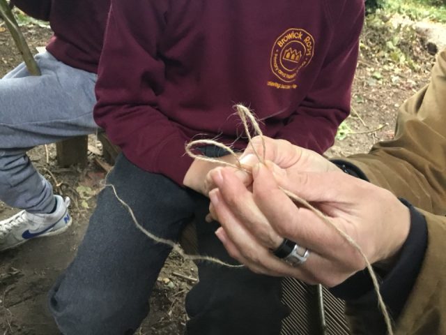
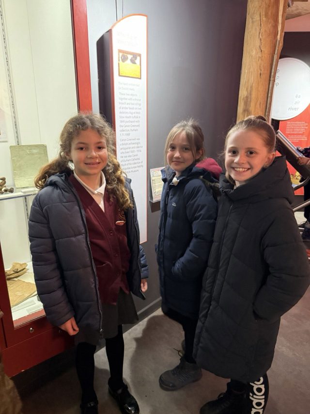
To begin with, the children enjoyed sitting together with one of the school adults exploring artefacts related to the Anglo-Saxons! Each group got to handle the objects, guess what they were and what they were used for. There were actual artefacts found at West Stow alongside replicas and they ranged from part of an animal skull to a beautiful brooch for a cloak!
Then, the children had an opportunity to explore the museum! There were lots of glass cases full of other artefacts, interactive displays and dressing up clothes!


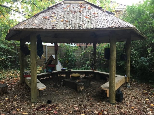
This took the morning session and then we have an opportunity to eat our lunch together in a lovely covered area and have a good chat about our morning so far!
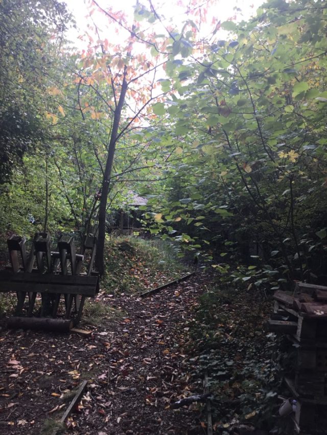
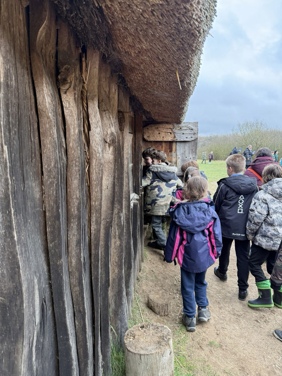
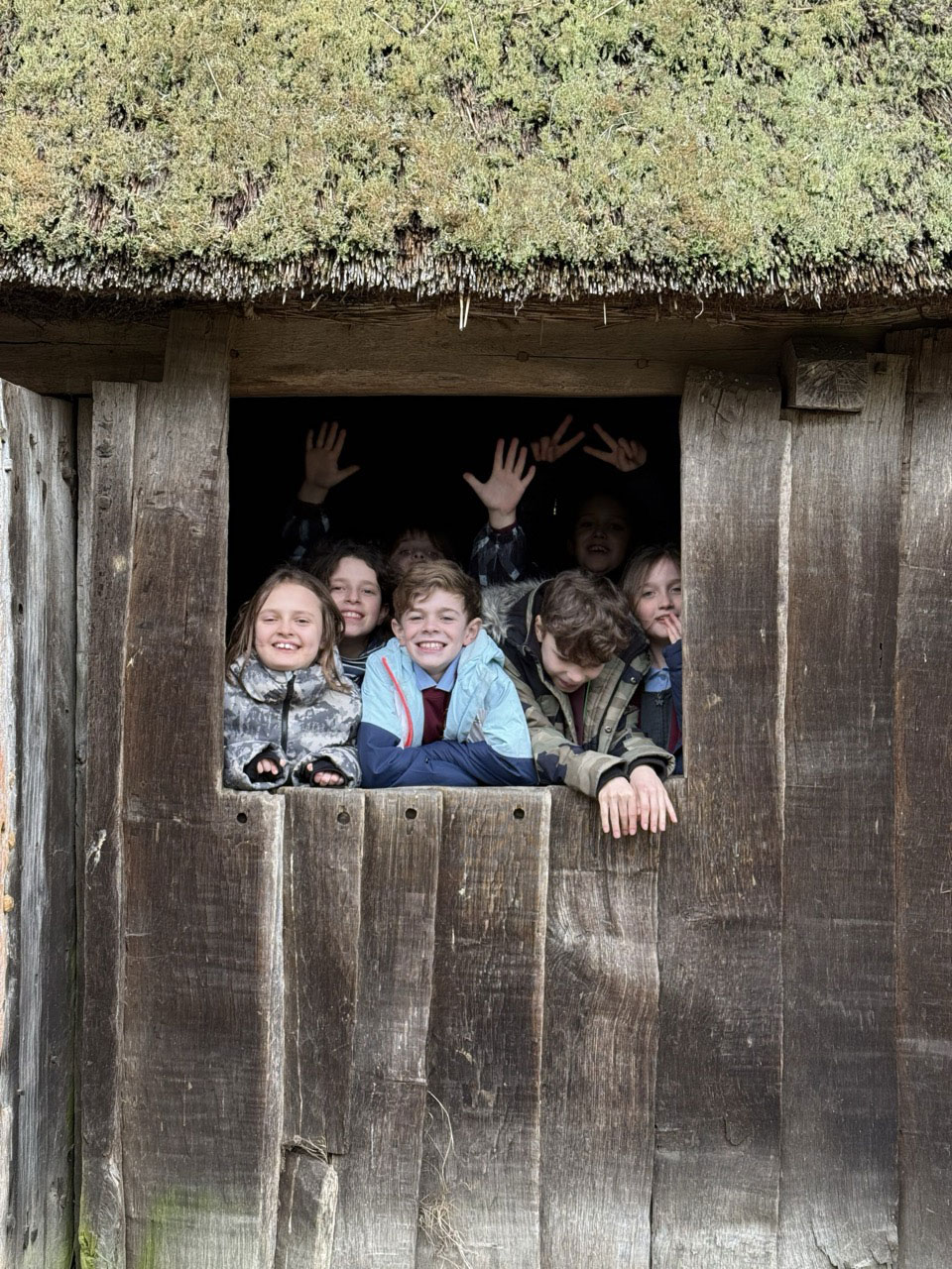
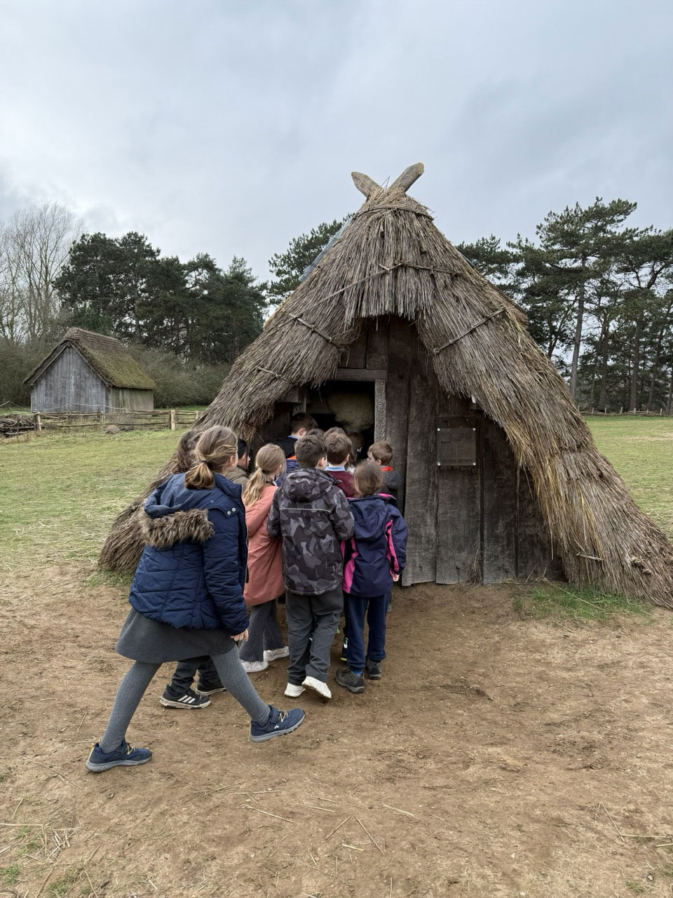
In the afternoon, we had an opportunity to look at the Anglo-Saxon village itself. This reconstruction sits exactly where the original village sat and the buildings are all built as they would have been. Each one has information about it and interesting objects inside. The children really enjoyed seeing these buildings in real life!


The children were exquisitely behaved and really made all of the adults exceptionally proud! Not only that, they had a great time and really enjoyed immersing themselves in the history of the Anglo-Saxons!
Well done, Year 4!